|
| *****SWAAG_ID***** | 397 |
| Date Entered | 12/12/2011 |
| Updated on | 14/12/2011 |
| Recorded by | Tim Laurie |
| Category | Mining Related |
| Record Type | Mining |
| Record Date | 22/12/2010 |
| Location | Fremington Edge, Hindrake Vein |
| Civil Parish | Reeth |
| Brit. National Grid | Hidden |
| Altitude | 360m approximate |
| Geology | Kame terrace and landslip below Main Limestone. |
| Record Name | Bale complex near the Hindrake Vein |
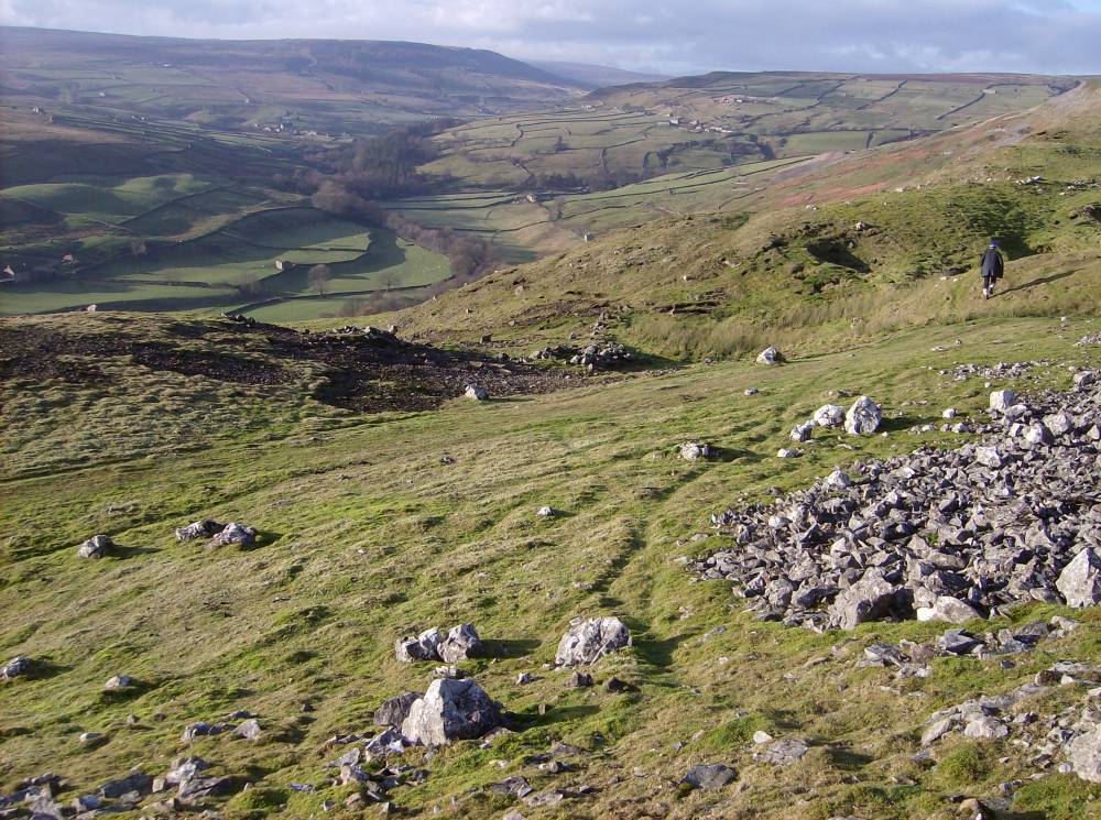
| Record Description | Exceptionally large complex of bale sites with associated small pits, structures and water management system at landslip area below Fremington Edge.
Lead slag and some coal and charcoal present.
Two flint flakes and a possible knife sharpening stone found here also. Late bronze age axes (debased currency axes?) were cast from bronze with a high lead content. (#NZ032016 approximate) |
| Dimensions | See photos |
| Additional Notes | To follow. |
| Image 1 ID | 1680 Click image to enlarge |
| Image 1 Description | Bale sites, Fremington Edge. | 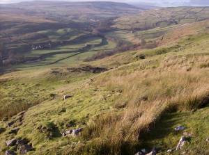 |
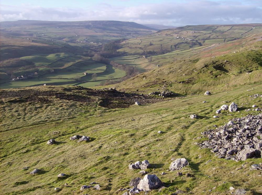
| Image 2 ID | 1681 Click image to enlarge |
| Image 2 Description | |  |
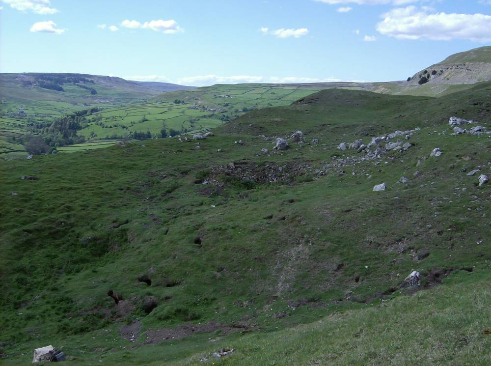
| Image 3 ID | 1682 Click image to enlarge |
| Image 3 Description | | 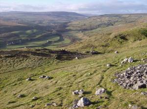 |
| Image 4 ID | 1701 Click image to enlarge |
| Image 4 Description | Bale | 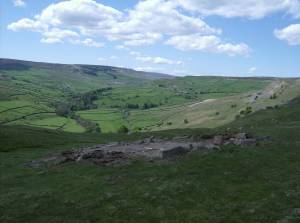 |
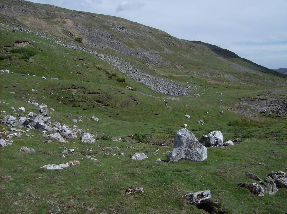
| Image 5 ID | 1706 Click image to enlarge |
| Image 5 Description | General view | 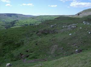 |
| Image 6 ID | 1702 Click image to enlarge |
| Image 6 Description | Bale | 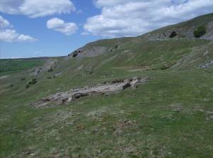 |
| Image 7 ID | 1703 Click image to enlarge |
| Image 7 Description | Dam |  |
| Image 8 ID | 1704 Click image to enlarge |
| Image 8 Description | Pit and bale | 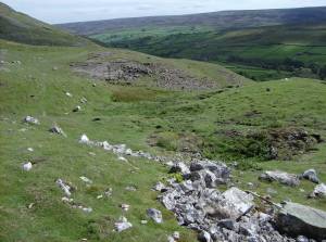 |
| Image 9 ID | 1705 Click image to enlarge |
| Image 9 Description | Pits | 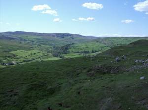 |